|
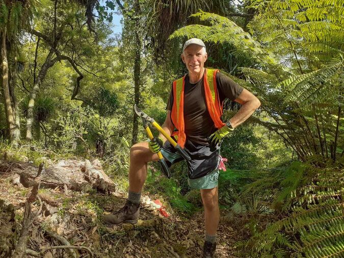
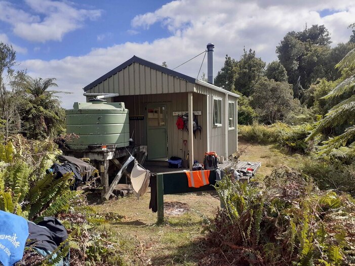
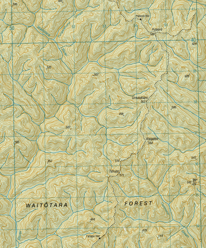
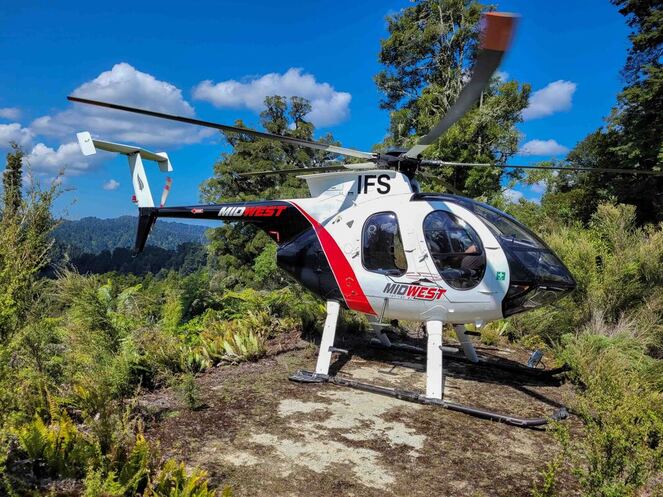
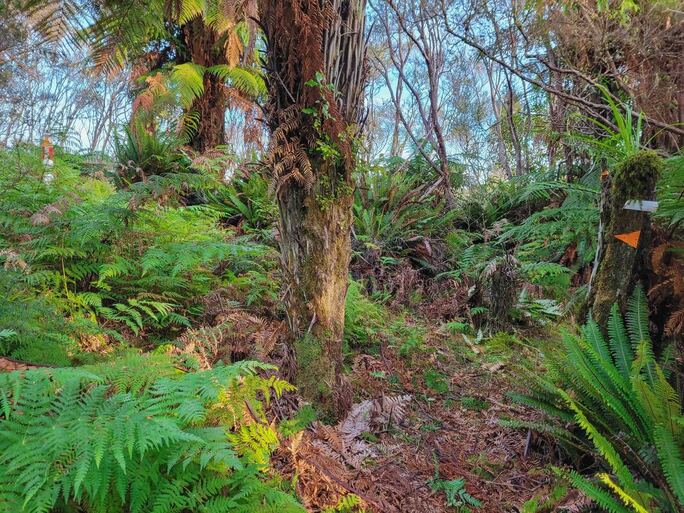
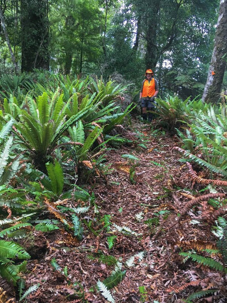
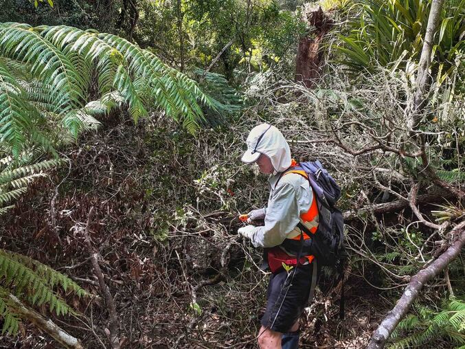
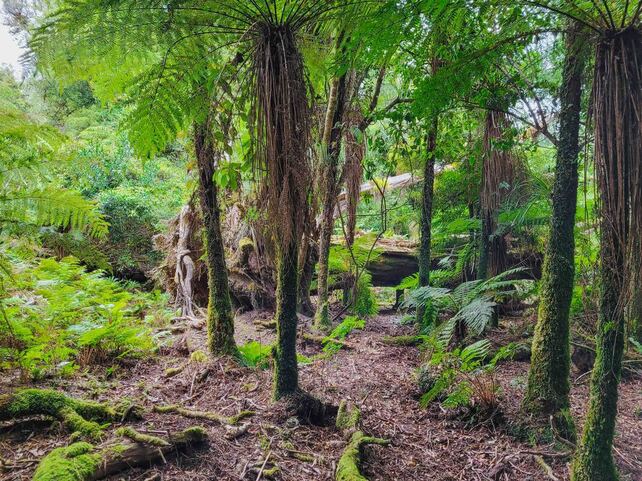
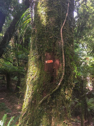
Waitōtara Conservation Area, Whanganui – 8-15 March 2022 The second-largest extent of native forest in the North Island empasses a huge area in the backcountry between Whanganui and Taranaki. The Whanganui National Park protects a significant part of these forests, through which the well-known Matemateāonga Track crosses. Less well-known and visited are the forests of the Waitōtara Conservation Area, which has a network of tracks that connect with the Matemateāonga Track. These tracks have received little attention in recent years, and become overgrown and difficult to follow. That changed in March, when a group of volunteers, mainly from Auckland, got stuck in to open up a significant section of the tracks north of Tahupo and Puteore Huts. Most of the group had previous experience working on tracks in the Kaimai Range. The six-strong group split in two. At Tahupo Hut were Tony Walton, Geoff Mead and Luitgard Schwendemann, while staying at Puteore Hut were John Parsons, Catherine Doyle and Jane Marjoribanks. Tahupo to Puteore track Both parties were flown into their respective huts about midday on 8 March, and soon got stuck in. The team at Puteore did some maintenance on the hut first, then tackled the first 700m of track south. On Day 2, both parties worked towards each other. The Tahupo Hut party worked north, past the Tahupo high point (511m), before a 2-hour walk back to their hut. On the third day, they departed Tahupo Hut with all their gear and camped near Umukakapo (563m). By the end of Day 3, the groups were working only around 1 km apart. The Tahupo party finished that section on Day 4 before tramping through to Puteore Hut. Northwest from Puteore Hut On Day 5, Tony Walton set off with Geoff Mead and Catherine Doyle to set up camp northwest of Puteore Hut. It took all morning to find a campsite with a marginal stream trickle for water. Multiple windfalls required some effort to find a way through and mark – all on a drizzly afternoon. Working back towards Puteore, the team battled mānuka, thick ferns, and a bracken-covered clearing (the smaller one shown on the map), before finding easier going. Meanwhile, the Puteore team worked westward from the hut, with dense ferns making progress slow. On Day 6, Tony’s party worked west as far as practical – and despite dense ferns, reached the start of the big clearing by lunchtime. This was once a farm, long since abandoned, and now thickly covered in mānuka. It required significant marking and clearing, which took the remainder of the day. Day 7 saw both teams working towards each other. They met mid-afternoon, returned with all the gear to Puteore Hut. After staying the night, they flew out the next morning as soon as the mist cleared. Track work notes The track northwest from Puteore Hut is benched, and possibly once provided a link to the farm on the big clearing. When clearing a benched track, it’s best to clear the vegetation on the uphill side first, away from the edge. The teams used hand tools: spades, small handsaws, a solid blade large saw, loppers, secateurs, and niwashi (a sharp Japanese slashing tool). The team made sure all the tool were well sharpened before the job. John used a file to sharpen tools in the evenings. The team attached coloured flagging tape small hand tools to make them more visible when they were put down. A bum bag or builder’s tool belt was great for keeping all the tools handy. Techniques Knee-high ferns absorbed a lot of the team’s time. A few techniques were employed – spade with significant force, spade work with another person pulling, and sawing the fern off with a hand saw near ground level. After a while the team became more selective – after all the goal was not a completely clear path, but enough to provide a good enough indication of the track, especially across clearings. There were so many windfalls on the tracks between Tahupo and the big clearing campsite that they did could not catalogue them all. They dealt to ones most easily cleared with a handsaw, but left the rest. A chainsaw team could work through these in a few days, with the suitable drops of supplies at the huts and a final pickup from the big clearing. Marking The teams tried to avoid over marking – given these tracks are of ‘tramping route’ standard only. Markers already in place were a mix of orange triangles (old and new) and white permolat strips. The team mostly used 50-60mm nails for fixing markers to solid tree, but longer ones (75mm) were useful if only ponga were available. Flagging tape was handy in places where there were no suitable trees or ponga. Conclusion
Tony Walton concludes: ‘Both huts were great places to stay with super views – they made all the difference to seeing the week through. We were thrilled to have worked in this remote area and made such a big improvement on the tracks. The flowering rātā and the falcon, also the occasional friendly robin and piwakwaka were a special bonus.’ Comments are closed.
|
Projects
June 2023
|

